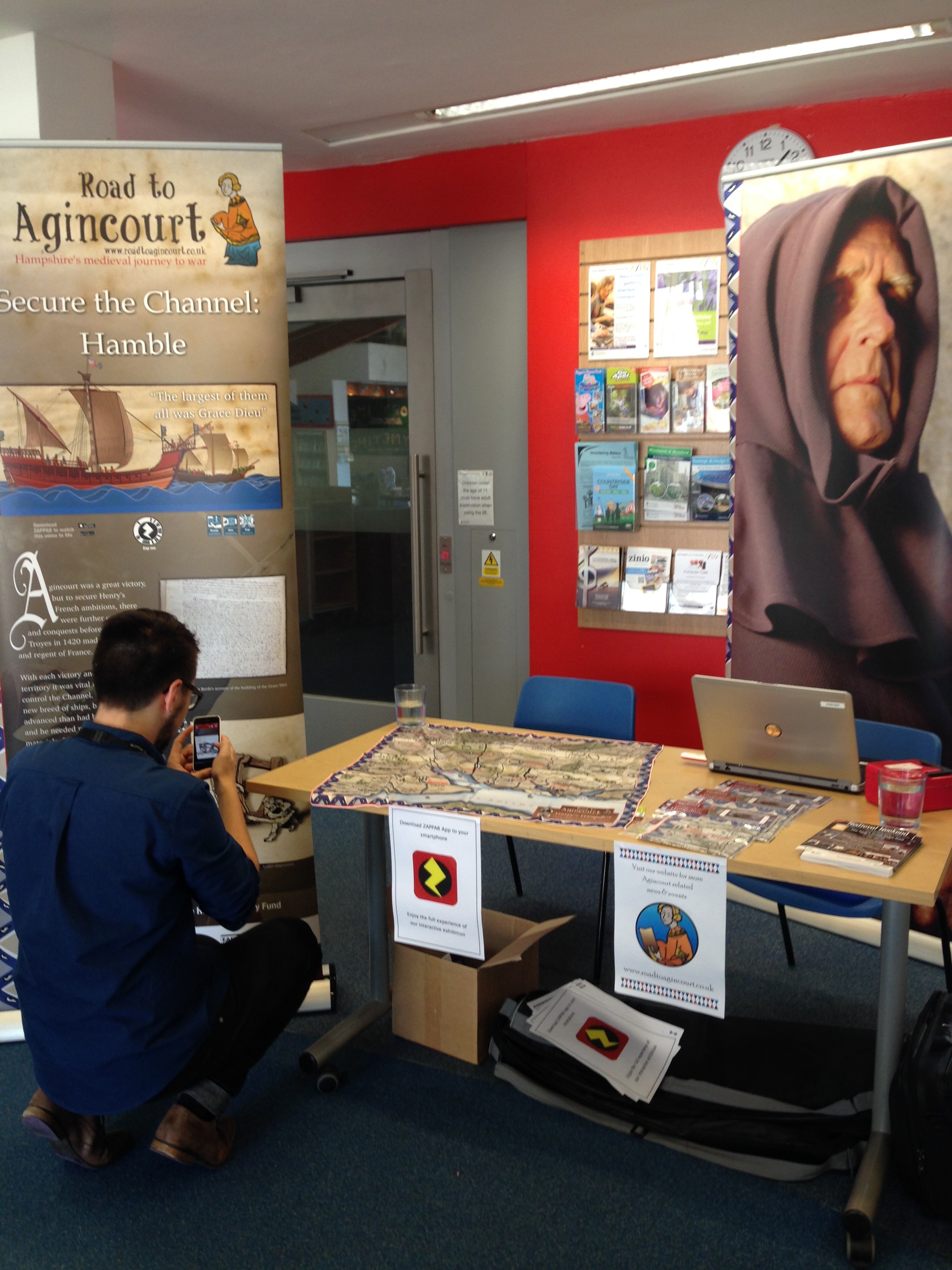
Last week the team were invited to Chandler’s Ford Library to showcase the latest interactive technology, Harry’s Hampshire, a wearable map bursting with historical facts, animations and video content. Since its launch last month the map has been very popular, and the team are always delighted to show how it works.
The library team at Chandler’s Ford were extremely accommodating, and provided our team with a prime spot in the library to set up the stall. Once set up and ready to go, they were among the first to come and ask “so, what exactly does this map do?”
 What does it do, indeed? Harry’s Hampshire is based on the design of a 16th Century John Speed map, although our version is enriched with 21st century technology to bring it to life. Only a free app, which is available on any app store, is needed to set off the animated content that show Hampshire’s historical links to the Battle of Agincourt and King Henry V. Presenting the content of the map is always a fun task, as people from all ages and walks of life are fascinated by how it all works.
Not only were the team armed with some maps to sell, they also managed to bring along a couple of the Interactive Exhibition Panels, which are equally as fascinating as Harry’s Hampshire. The team certainly drew a fair bit of attention whilst they were there (although their phone volumes had to be turned down slightly… They were in a library after all!).
The team passes on their sincerest thank you to Radka and the rest of the Chandler’s Ford Library team for the warm welcome. Road To Agincourt are hoping to head back soon with a presentation on the latest addition to the project – more information will come soon.
For information and a sneak peek on how Harry’s Hampshire works, please see the video below. The unique map is now available to purchase online, so you can own your very own historical inspired piece.
How to Use Harry's Hampshire from Road to Agincourt on Vimeo.
Recent Comments